So we’re all locked down, to some degree or another, and our favourite FOSS4G conferences (due to be held this year in Calgary and Valmiera inter alia) are cancelled…. what to do? The OSGeo:UK committee, seeing a chance to organise a conference without having to worry about catering/ venues/ accommodation/ swag/ entertainment, decided to do what everyone else was doing and do it online! If you missed it, this is how it went.
In figures
From the OSGeo wiki:
- 1,000 people registered
- 600 or so attended on the day
- 8 themes: 🗃️ Metadata, 🏛️ Platform, 🗺️ Mapping, 🚜 Land, 🌍 Earth Observation, 🛤️ Geospatial, 😷 Covid19, 🖥️ Geoserver
- 3 streams: 🐦 Nightingale, 🛰️ Sentinel, ⛵ Mercator
- 460 people online at the peak
- 77 countries represented, 52% from outside the UK
- 33 presentations, with 38 presenters
- 95% of delegates rated the event very good or excellent
- 47% made a donation to OSGeo or MapAction, raising around £2,500 in all
- 2,500 views of recordings on the YouTube channel
- £200 expenses to put on
Astun contributions
As this is the Astun blog, we can get away with highlighting the contributions from Astun staff:
- Jo Cook opened the proceedings in her role as OSGeo:UK chair, with a guest appearance from OSGeo PresidentAngelos Tzotsos, going to on to have a busy day taking about automating metadata creation, and SEO for GeoNetwork
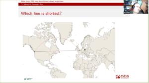
- Ian Turton explained why projections don’t ‘just work’ in GIS referencing Null Island along the way
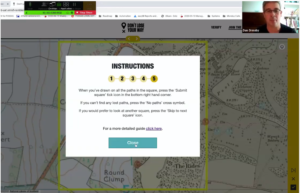
- Dan Ormsby and Matt Walker, along with Jack Cornish from the Ramblers, talked about Don’t Lose Your Way, a crowd source mapping project to identify tens of thousands of miles of historic paths that could potentially be reinstated as rights of way.
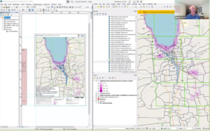
- I (Ant Scott), with my MapAction hat (or rather shirt) on, demo’ed North Road’s SLYR QGIS plugin, which lets QGIS users load ESRI’s Arc maps and other artefacts
- Steven Feldman wrapped up proceedings with some thoughts on the success of the conference, and where FOSS4G gatherings should go from here
What else?
The standard of presentations was consistently high, with presenters from across the spectrum of open source geo. Everyone will have their favourites, but we were interested by:
- The latest updates to GeoServer, from Andrea Aime and Jody Garnett
- Sean Gorman’s description of a 3D point cloud of the world using commodity photos
- An update on the activities of Women in Geospatial+ from Cristina Vrînceanu and Julia Wagemann
- The work done by Lutra (sponsored by OSGeo:UK among others) to add vector tiles capability to QGIS, presented by Saber Razmjooei, and Peter Wells’ session on mobile data collection with QGIS and Input
- Will Cadell’s presentation (currently the most viewed on the YouTube channel) on strategic geospatial
Feedback
As evidenced from the post-conference survey, the day seemed to have gone well:

