How we work
Our mission is to enable users of our services to discover, catalogue, share and collaborate on place based data with unparalleled ease through cloud based software and our team’s expertise.
We use open source foundations to create and deliver world class geospatial products and solutions, helping our customers provide services efficiently through the power of geography.
Working collaboratively with our customers using Agile methodologies ensures our products are based on functional requirements and target user need to maximise benefit.
Learn more
Products
We offer Enterprise GIS based on open source technology.

Services
Our Professional Services help you solve your business challenges by creating, integrating and supporting geospatial technology in the cloud and integrating with your business systems.
We make public sector procurement easier
We’re a supplier on Crown Commercial Service’s G-Cloud 14 framework
Find out moreSupported technologies
We offer training, mentoring and support across a range of OSGeo technologies, including
Our products
Our pioneering product iShare is a sophisticated end to end Enterprise Geographic Intelligence platform.
Visit our product pages to learn more about iShare, Data Discovery & Enterprise Metadata and Astun Data Services.
iShare is built on Open Source foundations and has a modular architecture with out of the box integrations to desktop GIS systems and line of business back office systems.
Complemented by Astun Data Services, our comprehensive Web Mapping API, and our Enterprise Data Catalogue tool we have the solution components to bring GeoSpatial data to life in your organisation and partner ecosystems.

iShare
Including a Spatial Data Warehouse, Intranet & Internet GIS, Problem Reporting, Inspire compliance & Base Mapping Data Services.
Get started
Data Discoverability
Our 4-step Data Discoverability process will make your data easier to identify, manage and share via search engines, portals, catalogues and GIS systems.
Get started
Astun Data Services
A cost effective and resource free alternative to translating, storing, updating and serving Base Mapping Data to internal and external users.
Get startedSave your place at AGI GeoCymru this October
We’ll also be at FOSS4G:UK in Leeds
Find out more on our blogOur architecture
Our application architecture is modular allowing you to choose the components that fulfil your business needs.

Sample use cases
Our software is used in public facing services and back office systems underpinning service delivery across the public sector, housing and transport sectors.

Elected Members

Education

Refuse & Waste

Council Tax

Planning Applications

Community Safety

Estates Management

Grounds Maintenance
Professional services and open source GIS training
Our product portfolio forms the foundations of our value proposition with our Experts in Place, providing a range of consulting services to ensure the value of place is maximized in your organisation.

Custom Geospatial Software Development
Our Experts in Place will help you design and manage a bespoke geospatial cloud hosted application targeted to your needs.

Training
We provide AGI Certified training courses on key OSGeo software applications ensuring you can own, operate and make the most of the technology.

Open Source Support
Our Experts in Place have over 250 years cumulative experience in the geospatial industry, providing you with invaluable support for you and your business.
Who we help
We work with a diverse range of clients from Local Government, Central Government, Emergency Services, Transport and Housing.


Why choose Astun?
At our core, we’re a technology company specialising in geospatial solutions. We now predominantly provide our product as secure, cloud hosted solutions.

Cloud based Software & Data
Not just a “service” – we simplify the deployment & ongoing management of the solutions by a simple, subscription based model backed up by our enterprise grade support on Amazon Web Services.

Implementing OSGeo in the Cloud
We support products ensuring they are optimised and secure. Additionally we provide core development / issue resolution for products such as QGIS, GeoServer, GeoNetwork, MapProxy etc.

Ensuring Secure Cloud Solutions
Security is paramount including Virtual Private Clouds following the UK Government Cyber Essentials Plus. Access to solutions can be achieved with federated security such as ADFS, Okta, Azure AD etc.
News & views
Read our latest blogs

Webinar Wednesday: Janus mid-year review
Your chance to hear about what we’ve been working on and what we have planned. Your views are welcomed!
Read more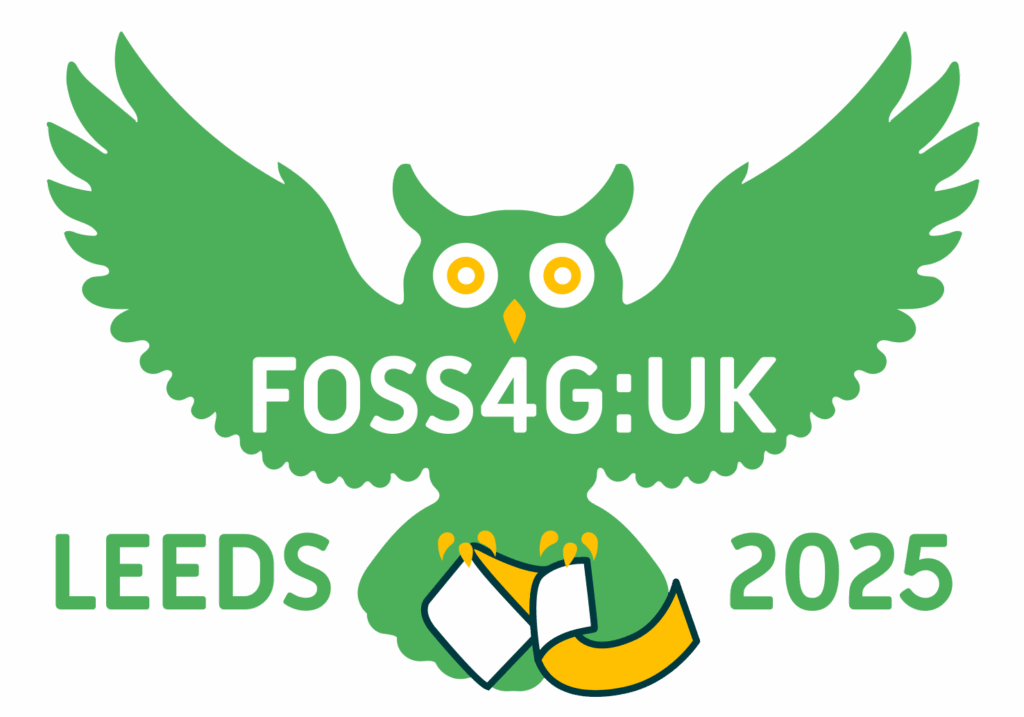
Join us at FOSS4G:UK this October
It’s back! With 200 expected attendees, FOSS4G:UK is looking even better than ever. Join us in Leeds this October.
Read more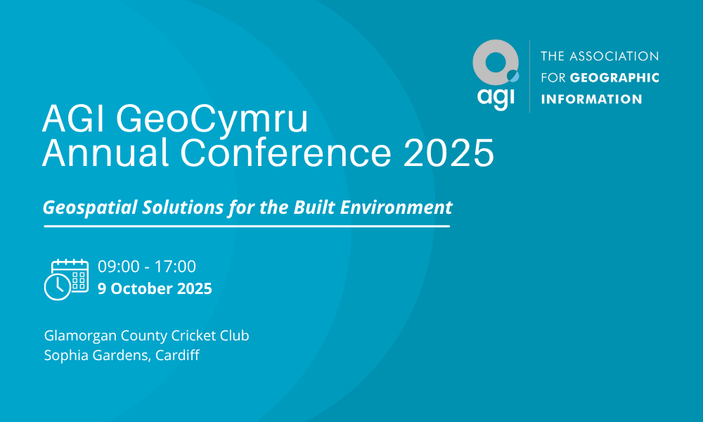
Join us at AGI GeoCymru 2025!
Come to AGI GeoCymru 2025! Discover how geospatial tech is shaping our communities. Join us!
Read more